Te Araroa SI Day 34: 3 Saddles, a riverwalk and a ghost town
From Highland Creek Hut to Macetown
Hiking time: 09:30a.m.-03:00p.m. and 04:00p.m.-08:20p.m.
Daily/Total distance: 20km /936km (230.5 hitched/skipped, 84 biked)
Steps: 35581
Weather: clear
Well, two people got up at the crack of dawn this morning. I found it still too cold out and decided to lie in my Quilt a bit longer before getting up. By 8:30am I was up though and getting ready to head out. I had planned a big day for the day. The two girls had left just before me, and the Kiwi left really early, though he said he would be moving slowly. I finally left at 9:30am, ready to face the many hills for the day.
The track first went down to a small creek, before beginning with the long and steep climb upwards. Though the steepness is nothing compared to Waiau Pass, it is nevertheless very steep here.
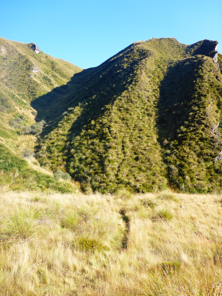
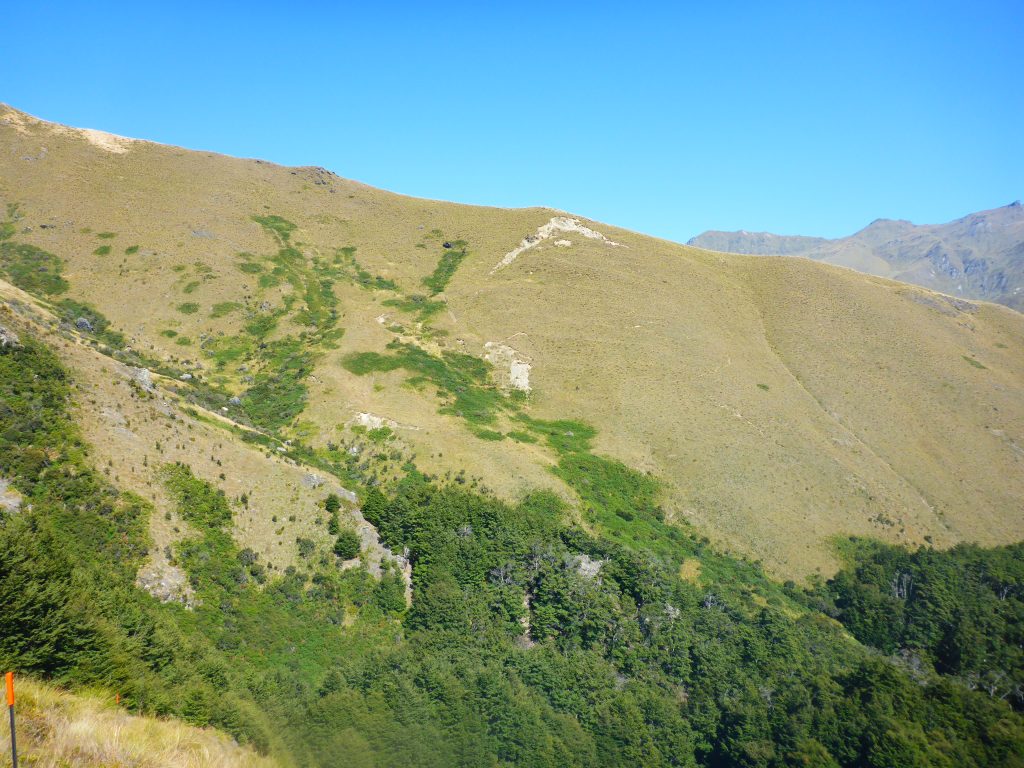
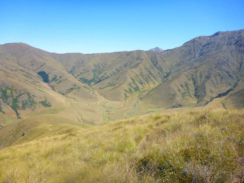
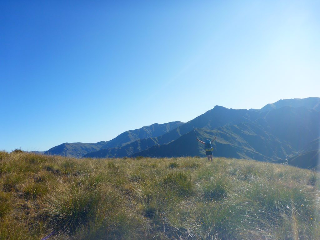
The sun was out and the weather nice, with the track affording great views again of the rugged mountains surrounding me. It took quite some time to get up to the first saddle, and the path kept tricking me, with little hilltops, where you think you have reached the top, but then you see that after a small descent you go further up again. Finally though, I reached the first saddle and had great views of the valley ahead, and the valley behind.
The it went downhill again. It wasn’t a ridgewalk as the track had been yesterday, but it was a small path through the grass.
(and yeas, I have to do a lot of backtracking to get myself in the shots)
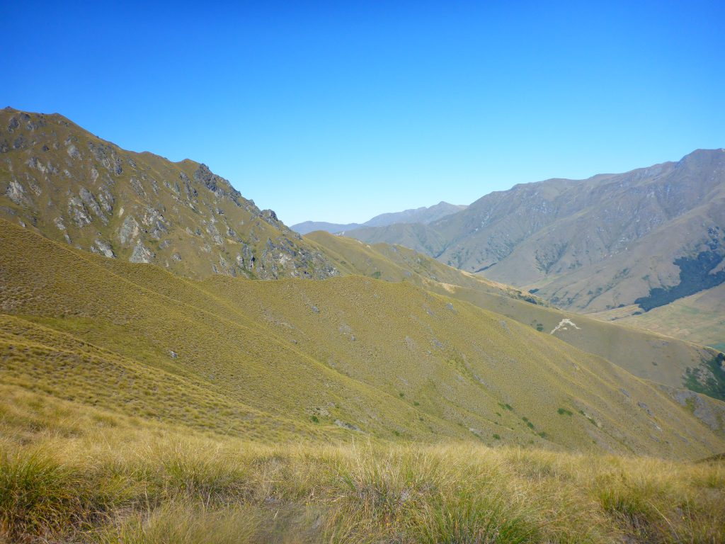
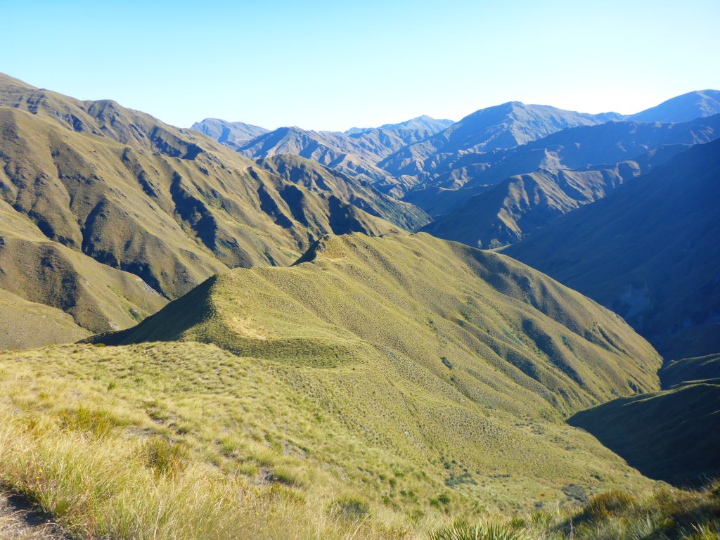
Continuing down into the valley, I overtook the girls from Latvia. Some sections were steeper, some more gradual, but mostly I couldn’t go as fast as I wanted due to my knee. So I kept a normal speed. While going down, it was already possible to discern parts of the track on the other side of the valley. And it looks like fun. more switchbacks.
Just before reaching the bottom of the valley, the path went into a very young beech forest, before crossing a tiny stream. It was nice to get out of the direct sunshine for a bit and to breathe in the cool forest air.
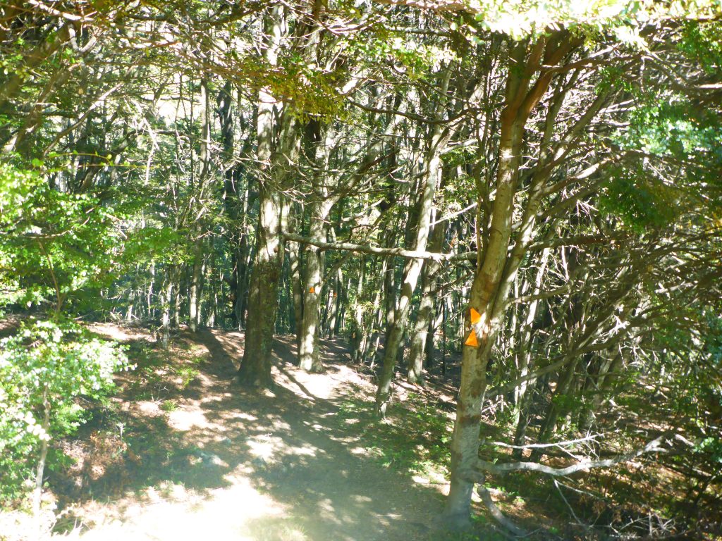
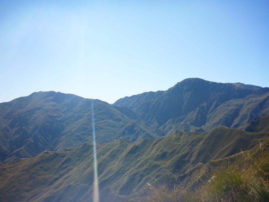
On the other side of the stream the path already started on the steady climb up the hill again. The climb up included some switchbacks and a very narrow footpath. I saw in the distance someone moving ahead of me, up the hill, so I knew where I would be soon as well.
After the first steep section up, that you could see on the picture that showed the forest and hill before, the path was on slightly more even terrain. Here I found the Kiwi lounging in the grass, taking a breather. He really is moving slow. We had a short chat, where I told him that I try to avoid taking to big breaks, as I find it hard to get moving afterwards. So I continued on, wanting to reach the top and getting my next lollie break.
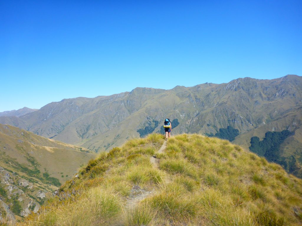
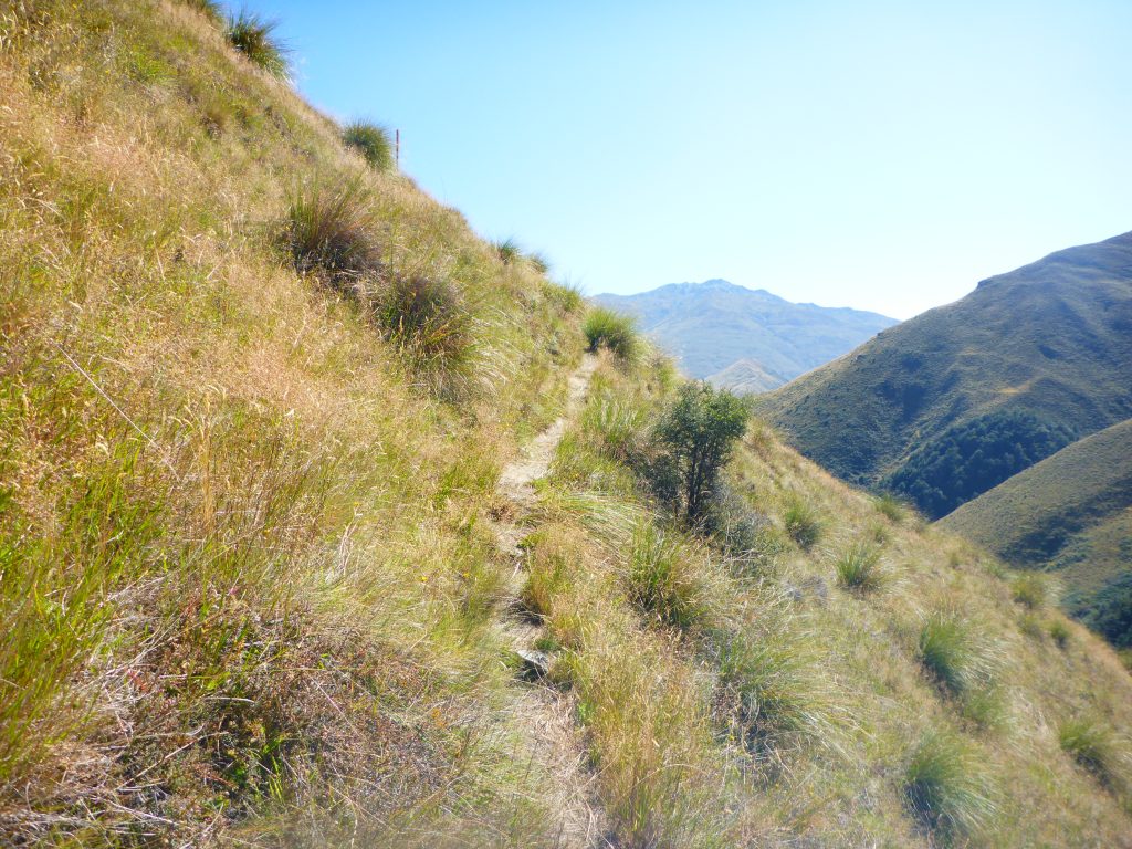
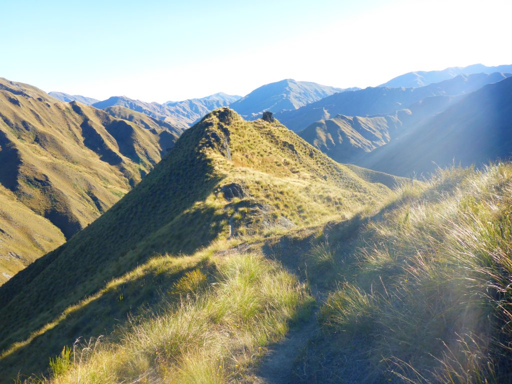
Finally, after following a fenceline further uphill, I finally reached the top and could see, that the path downwards included another ridgewalk for quite some distance.
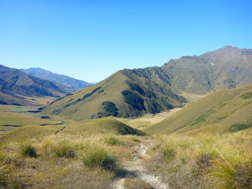
So I started another descent into the next valley. At some point I was able to see the valley I was descending into as well as the next hill on the other side that I would be moving up next.
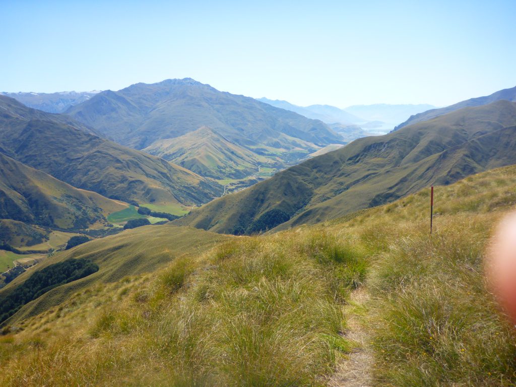
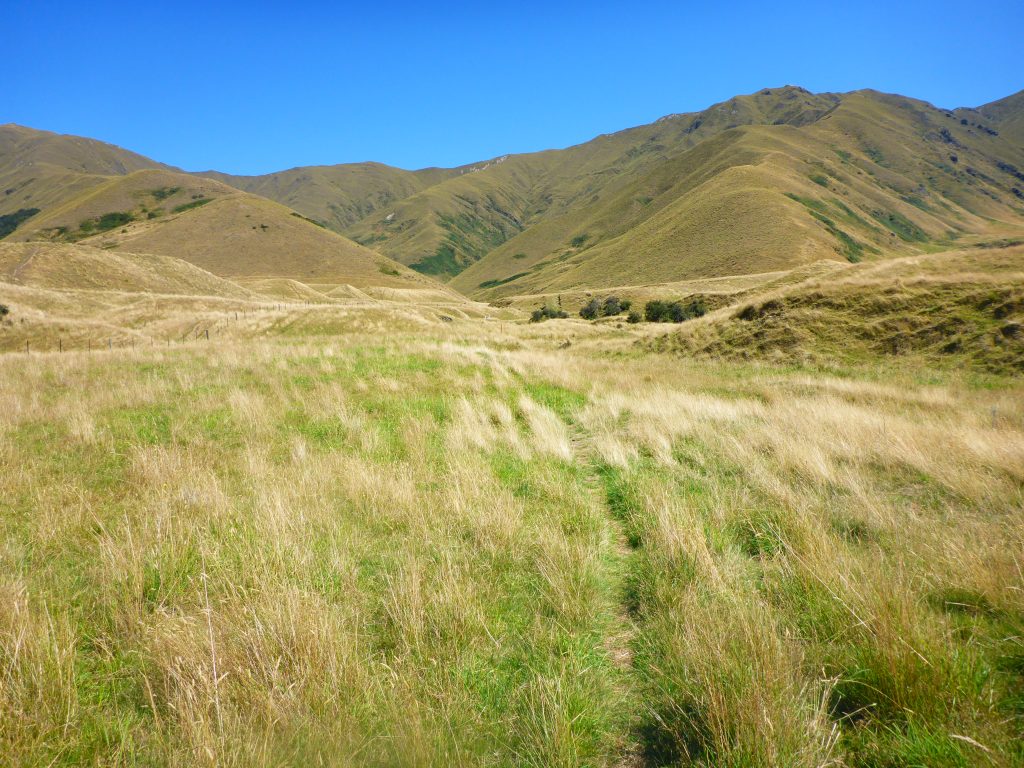
About 2k’s away from the hut I was already able to see it. Due to my slow downward speed though, this took a frustratingly long time, especially as the hut was in clear view for quite some time. At some point though, I finally reached the valley and continued on through some fields. These were muddy though, and I had to step around the mud to keep my feet dry.
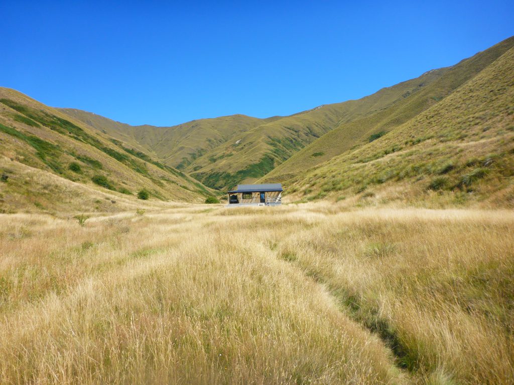
By 3pm I finally reached Roses Hut and decided to take a break. With another Saddle ahead of me, I didn’t want to continue on quite yet. So I went into the hut and ate some of my snacks while browsing through the Wilderness magazine that someone had left behind. There is one to be found at most huts, and they always have great articles. An hour later, just as the two girls from Latvia arrived I was packed up again, had used the loo and was off.
Immediately I was going up the next hill. At this point, my motivation for it was slowly diminishing, and I put on some tunes to sing along to, just for the fun. With noone coming along from behind me, I just had to look for people coming towards me to stop singing when they approach me.
At least this climb uphill didn’t feel as strenuous as the two before. While it was again over 1000m, it was more gradual in places, though not so gradual that you take forever to get up. I was nevertheless glad though, to finally reach the top, knowing there was only downhill from here.
Going down, it was another ridgewalk.
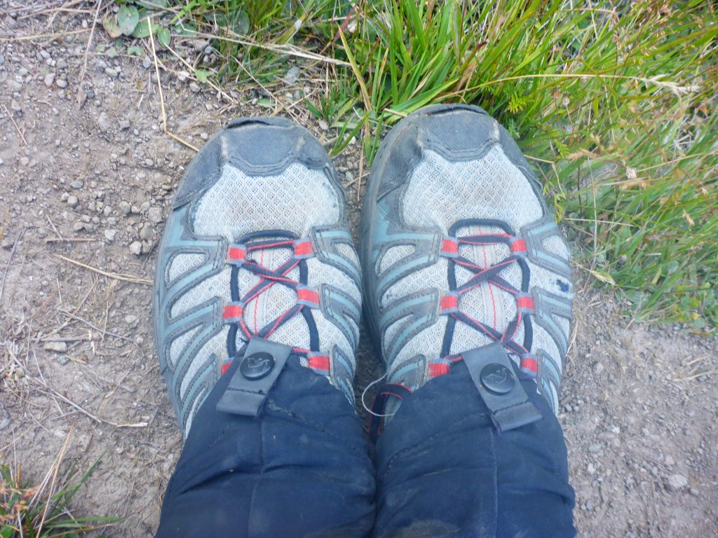
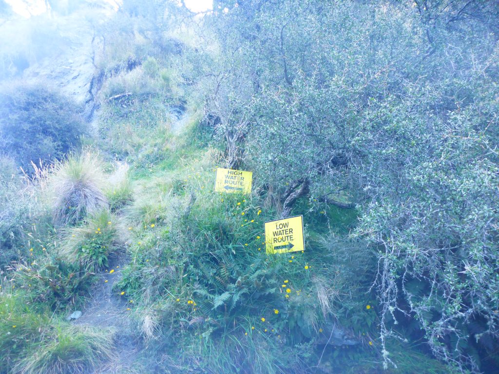
The track didn’t follow the ridgeline completely down though, Halfway down, it diverted from the ridge and continued down with switchbacks down to the river. Once I left the ridge, the sun also started disappearing behind the surrounding mountains, and I was walking in the shade now. You can really feel that it is starting to get dark sooner now. Upon reaching the river, I had the option of walking in the riverbed until macetown, or following the highwater path. As the path included further ups and down beside the river, I didn’t really fancy it and decided to go into the river. I haven’t had wet feet in a couple of days, good idea to give them a clean;)
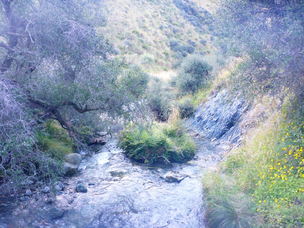
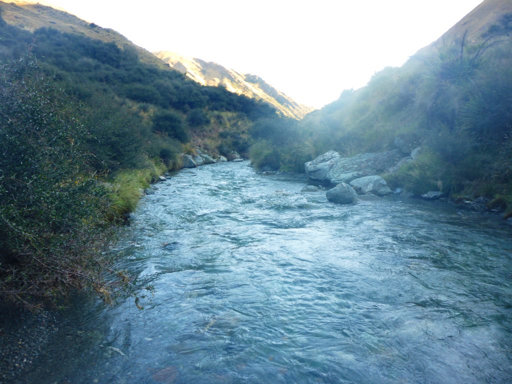
The water felt icecold, and with the sun behind the mountains I knew I would be putting wet shoes on the next day. But I just couldn’t face going uphill again today. So I marched on through the water, always looking for the place with the lowest water level, which was sometimes a bit tricky, especially in some of the bends of the river. I always managed to find water below knee level though and continued on.
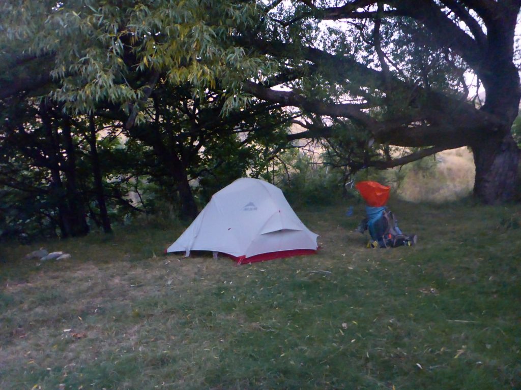
Walking in the riverbed took longer than I anticipated though and I kept checking my GPS to see how much further I was away from macetown. Finally, at around 8pm I came close to macetown, according to my GPS. I soon realised though that I should have continued on a 4W track, that went out of the river to my right. Because when I finally came upon the location of the campground, according to my GPS, I had to climb up a small cliff by the side of the river to reach it. Well, this wasn’t planned, but I also didn’t want to turn around for a detour. So I went up and found the dunny as well as some good places to pitch my tent. It was 8:20pm, just around sunset, so just in time to get everything pitched before it gets dark.
Up by the campground though I realised that the closest water source it the river that I had just come from. So I grabbed my waterbag and climbed down the cliff again to grab some water and then get up again. After this additional track, I set about getting everything ready. After pitching my tent, I had a short look around the “town”. Macetown is an old gold mining town, which is now a historic site. I saw one hut and had a look inside. There were bars immediately behind the door, preventing me to go inside. It gave me a creepy feeling and I questioned why I had decided to sleep in a ghosttown.
Back in my tent I made dinner and then went to bet, attaching my shoes to the tree, to that nothing can take it away. In the confines of my tent, I heard the screeching of the possums again, which made this place even more frightening. Luckily I was soon asleep though, after this long and hilly day.