Te Araroa SI Day 18: The longest day yet
From Cameron Hut to Morrison Footbridge
Hiking time: 07:20a.m.-08:05p.m.
Daily/Total distance: 35km /446.5km (152 hitched/skipped)
Steps: 51531
Weather: cloudy in the morning sunny from noon onwards
This morning I got up at 6am. Spent some time in my tent to pack everything up. Ate my breakfast inside the tent before bracing the outside and the sandflies. Then I packed up everything, brushed my teeth, went to the dunny and set off at 7:20am.
The sun was up but still hidden behind clouds. Therefore it was not as bright as it usually is. Especially inside the beech forest. As I had quite aggravated eyes from my allergies this morning my vision was further reduced. So I spent the morning trying to focus on my surroundings to take everything in.
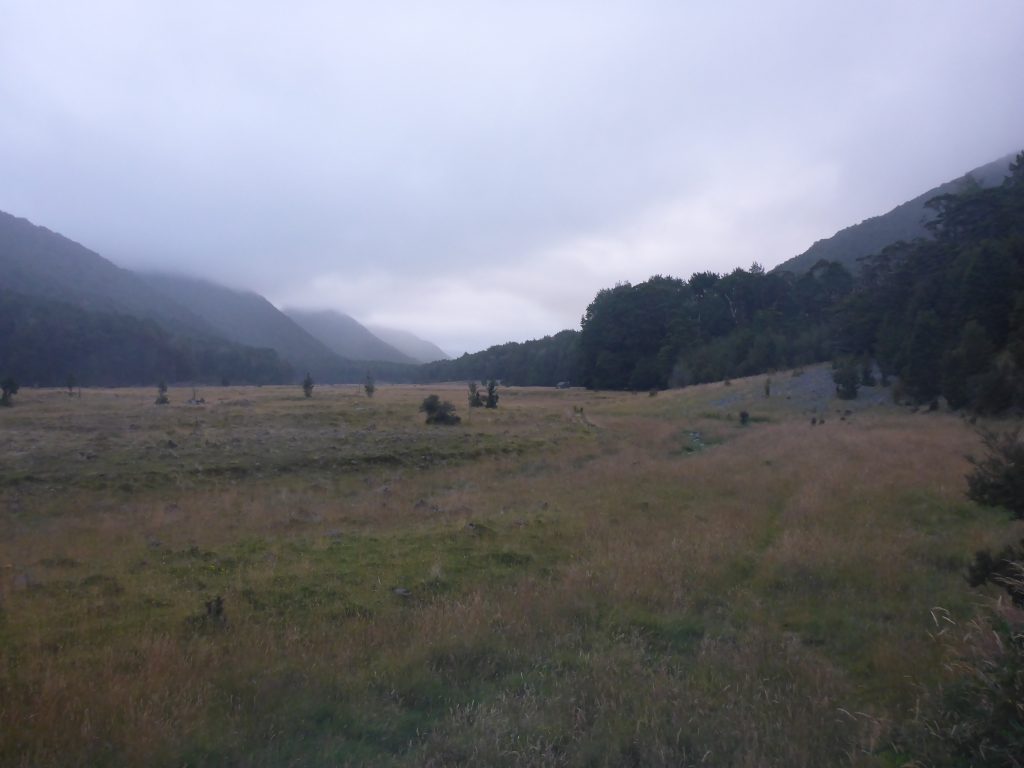
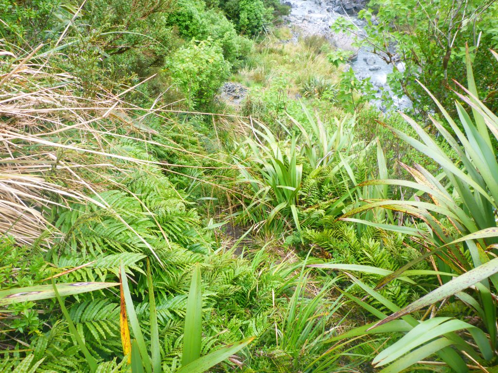
The track went uphill towards Harper Pass. Most of the trail was overgrown or unformed, and quite a few places only had few markers.
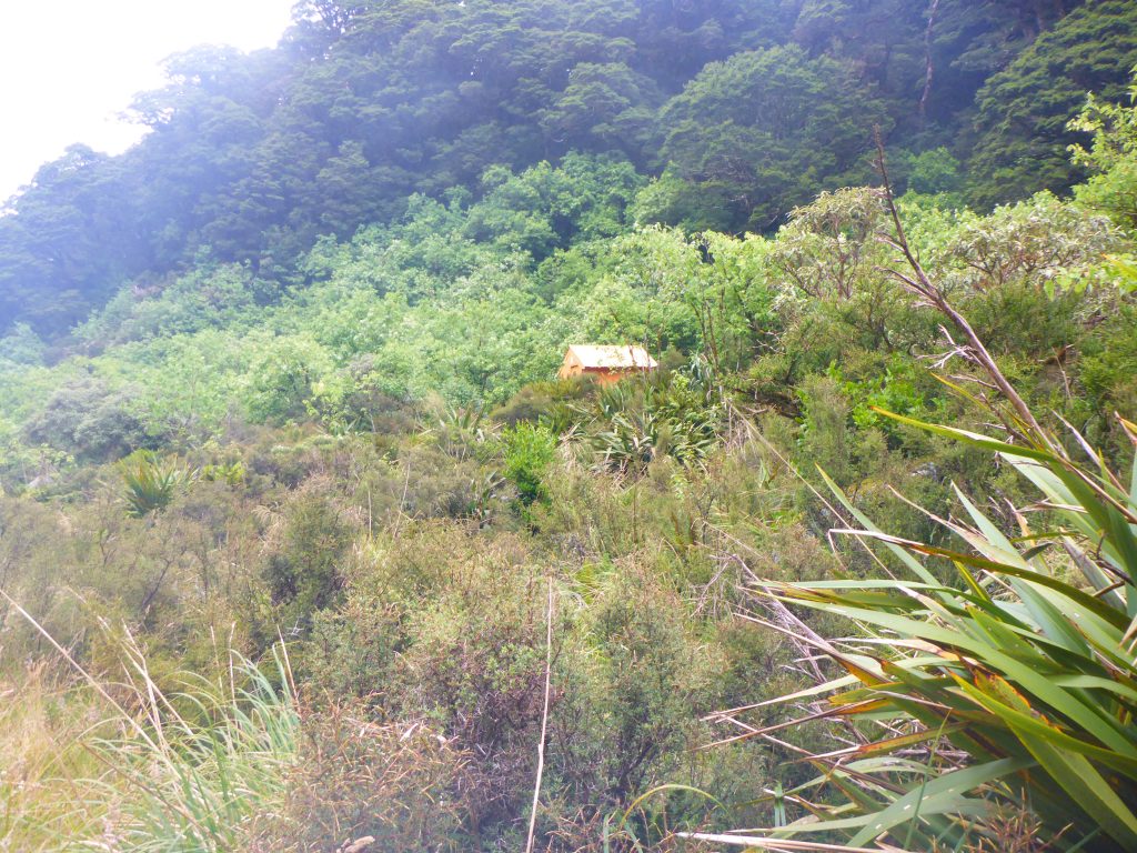
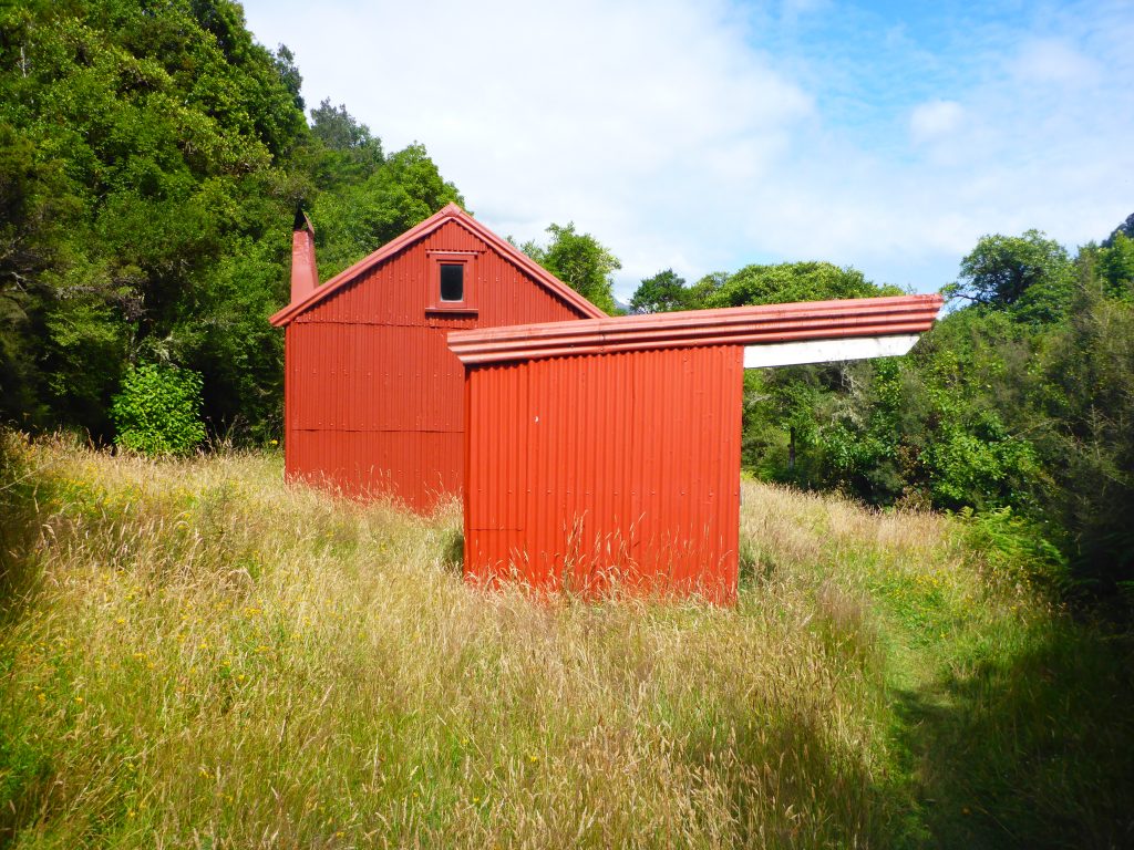
After two hours I passed the Harper Pass bivy. It was a cute little orange shack hidden in the grass and bush.
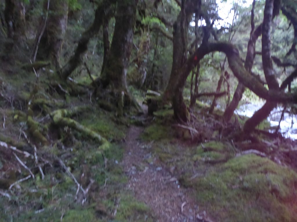
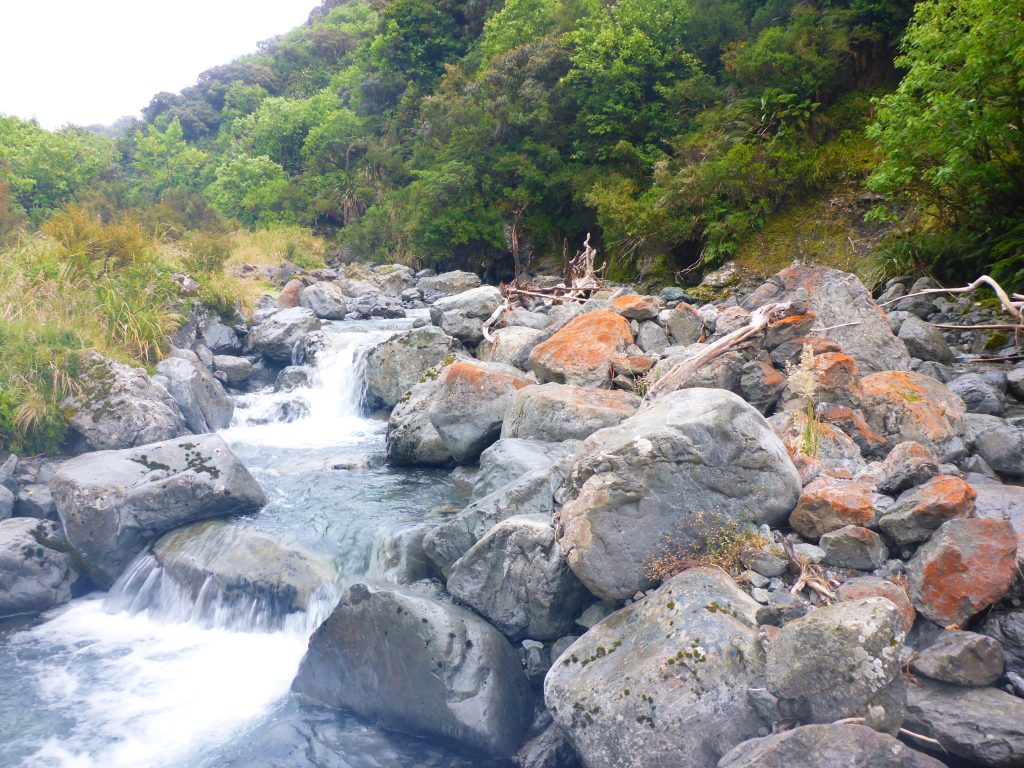
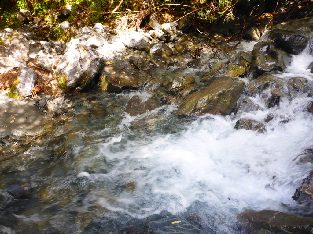
Closer towards the pass the track first followed the river further up, at times even climbing along the riverbed.
Teaching Harper’s pass I didn’t have much of a view. Ther were low clouds around, preventing me from seeing down the sides of the pass. But the path had cleared up a bit more and was a clearly recognisable trail.
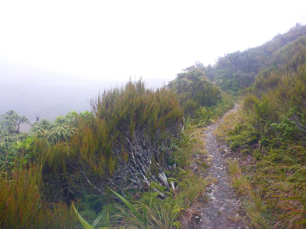
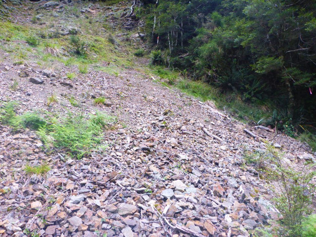
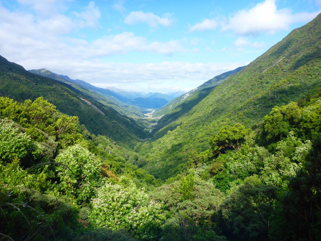
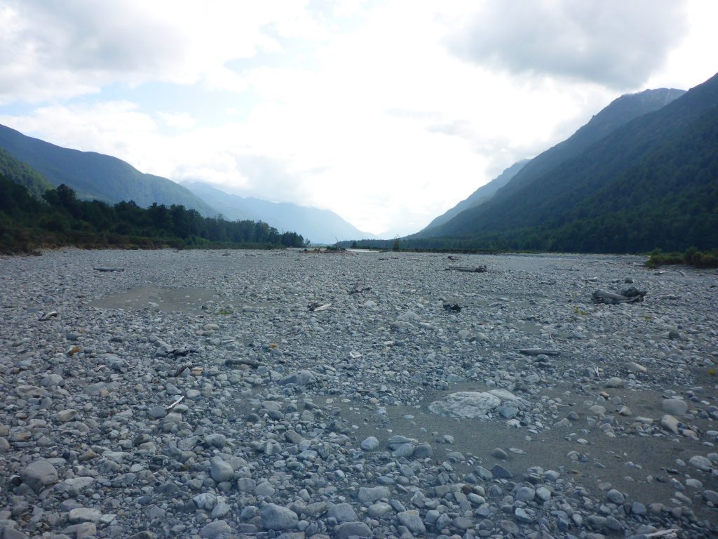
Going down from Harper’s pass the track was a bit steep in sections. After some time going down the view also cleared up and I could have a view of the Taramakau riverbed that I would walk through later on.
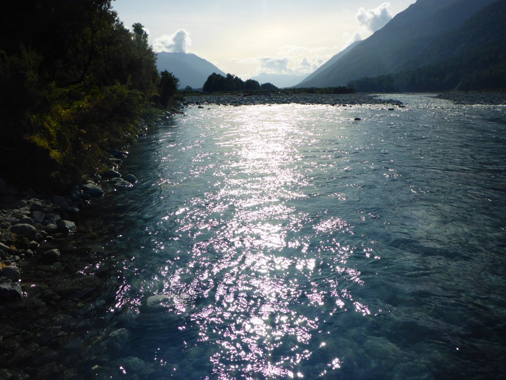
The track down followed the Taramakau river from the top. There were crossings at some points which could still be achieved with dry feet as the level was still low.
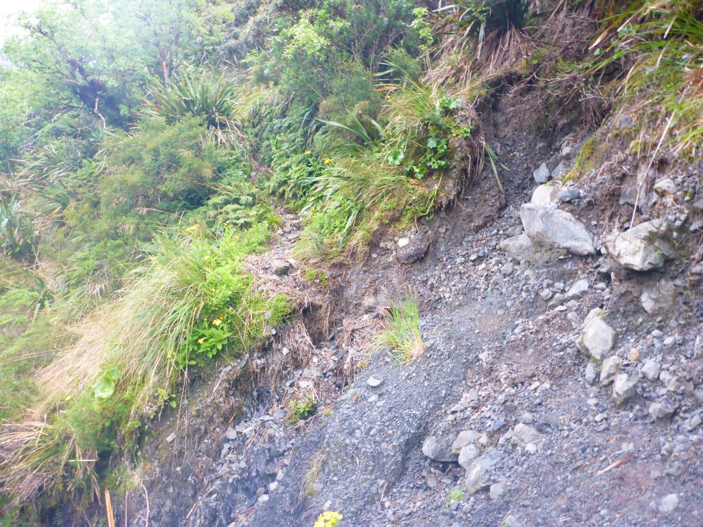
Parts of the track going down where quite slippery. There were loose stones, some loose ground and big steps to go down. At the bottom of the pass was a bridge crossing the river as it was now bigger and harder to fjord.
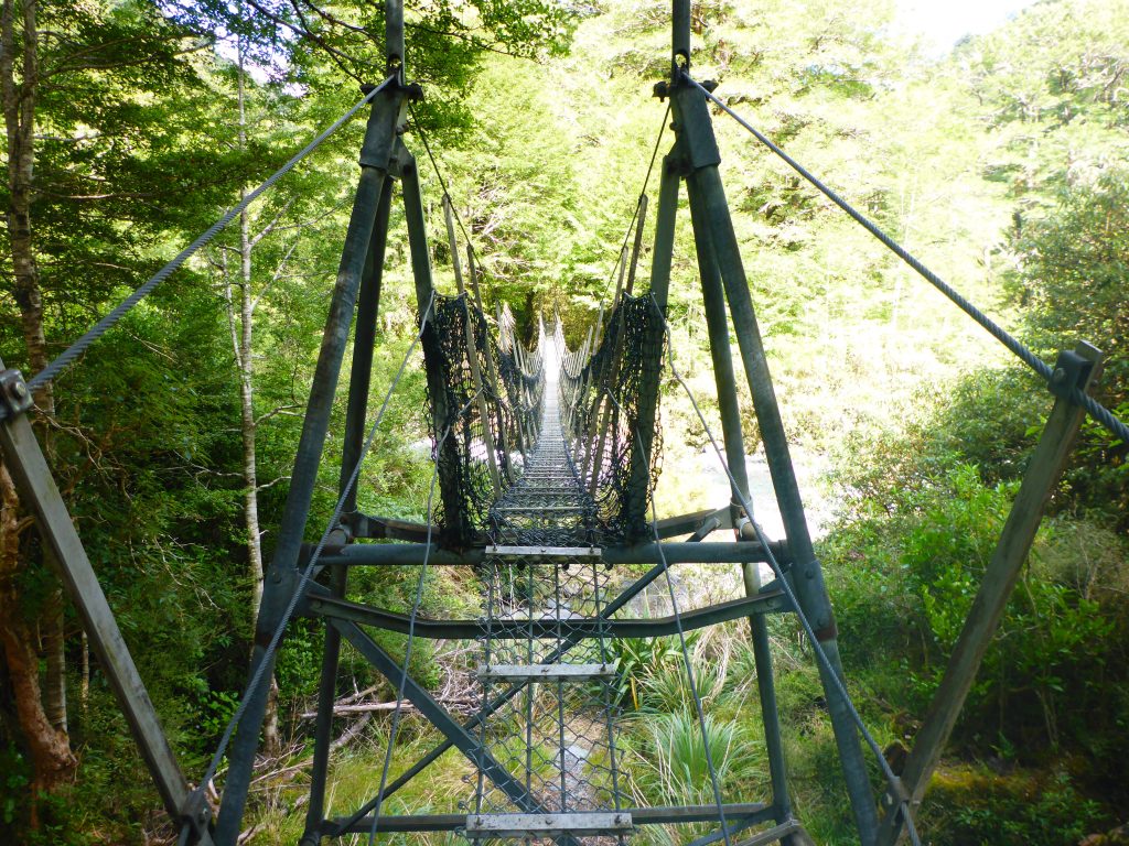
After the swingbridge the track continued on through the forest and sometimes along the riverbed.
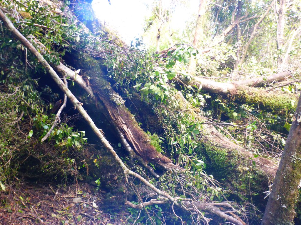
Inside the forest though were also parts with overturned trees where I had to climb over them.
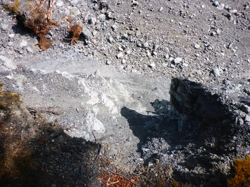
At one point I was following a path. I came to a small stream to be crossed and went to the other side. I couldn’t find the trail here though. At first I just went into the bush, thinking I would come upon a marker inside, but I didn’t. So I backtracked back over the stream, going back the track until the last marker I saw. Then I continued forward again, this time paying more attention towards my surroundings. I saw that the actual trail was leading right towards the big river and up. Following this I ended up at a cliff, where the trail had eroded down into the river. At first I thought I could maybe still go along it, but a few steps onto the path showed me that there wasn’t enough space further up and the cliff was still crumbling. So I backtracked again. I went so far back until I found a place where I could safely go down into the riverbed. From the map I know that the trail follows the river so I will find it later on again. So I continued down the riverbed until I found markers in the bush again at a place where I could get to.
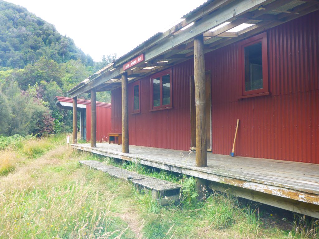
At 12:20pm I reached Locke Stream hut. Apparently it is infested with rats. Well, I didn’t want to stay here anyway. My plan is to push forward as much as I can and find a spot to camp after Kiwi Hut. I stopped shortly, spread out my fly and ground sheet to dry, ate more snacks and applied sun protection as the sun was now shining at full blast. The hut locks quite nice from the outside, inside though it smells and I wouldn’t want to face the rats.
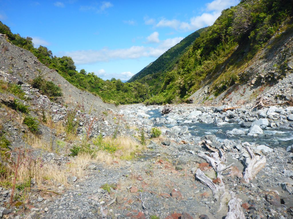
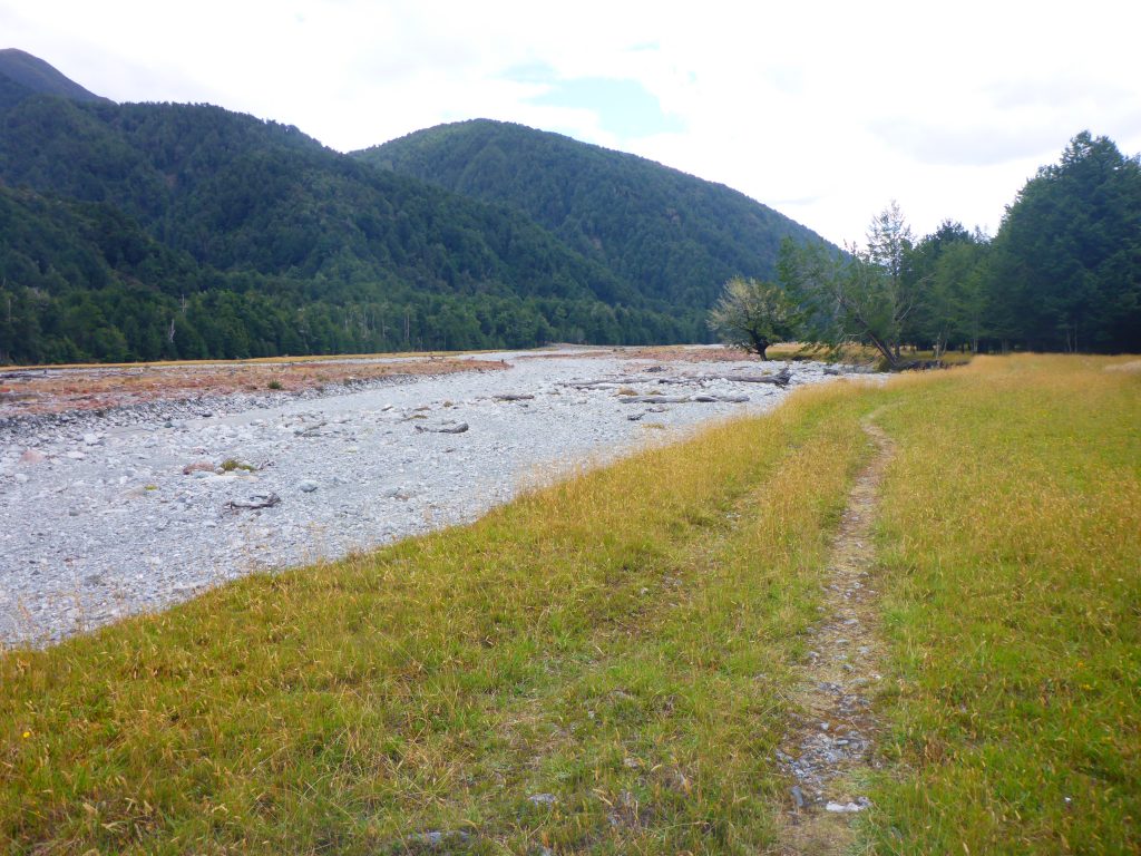
After the hut the track crosses the river a couple of times, walking in grass flats and other riverbed next to it. Markers are far and few. I usually tried to follow the footpath in the grass and on a rocky section tried to see the foottrack inside the grass on the other side. On this stretch there were quite a few NOBOs coming towards me. I got some information from them about possible camp spots as well as weather developments.
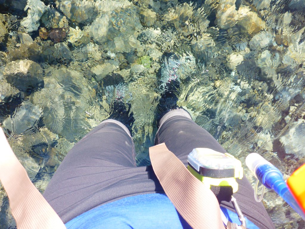
After 2h20 I reached Kiwi Hut. As it is off trail I didn’t go to the hut but continued on. It was still early enough so I continued on. According to the trail notes the river will be crossed one more final time about 2.5km later. Just after the hut I met another German girl who just had a break. I didn’t want to stop yet and continued on. I couldn’t see a track marker anymore and pulled out my maps and turned on the GPS. According to my location I should cross the river now. So I went towards it. At this point the Taramakau river was joined by the Otehake river. Where I stood, the place to cross according to the map, the river was very deep and seemed way to fast flowing. I therefore backtracked a bit further up the river where it was still 2 separate rivers. Here it was easier to cross them as the flow wasn’t as strong and it also wasn’t too deep. The water level was below my knees.
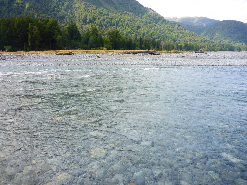
I had crossed about 4pm. I couldn’t see the trail on the other side though. So I walked further down the riverbed. According to the trail notes the riverbed is preferable to the flood track if the water level is low. Before continuing though I stopped for a moment to grab more snacks from my food bag. Then I continued on.
The river had its outside curve though where I was walking initially and there was no place to walk in the bed. It was also too deep to cross. I therefore went into the bush to bush bash through it until I can walk in the riverbed again. There was no marked track but I could see footprints from other people before me. While there I saw a helicopter going down about a km in front of me. It was red and white and I hope it’s not related to any trappers in front of me.
After half an hour I was back in the riverbed. While it was easy to navigate it wasn’t necessary easy to walk in. But the flood track is supposed to be very steep, unmarked and overgrown. So this seems nicer.
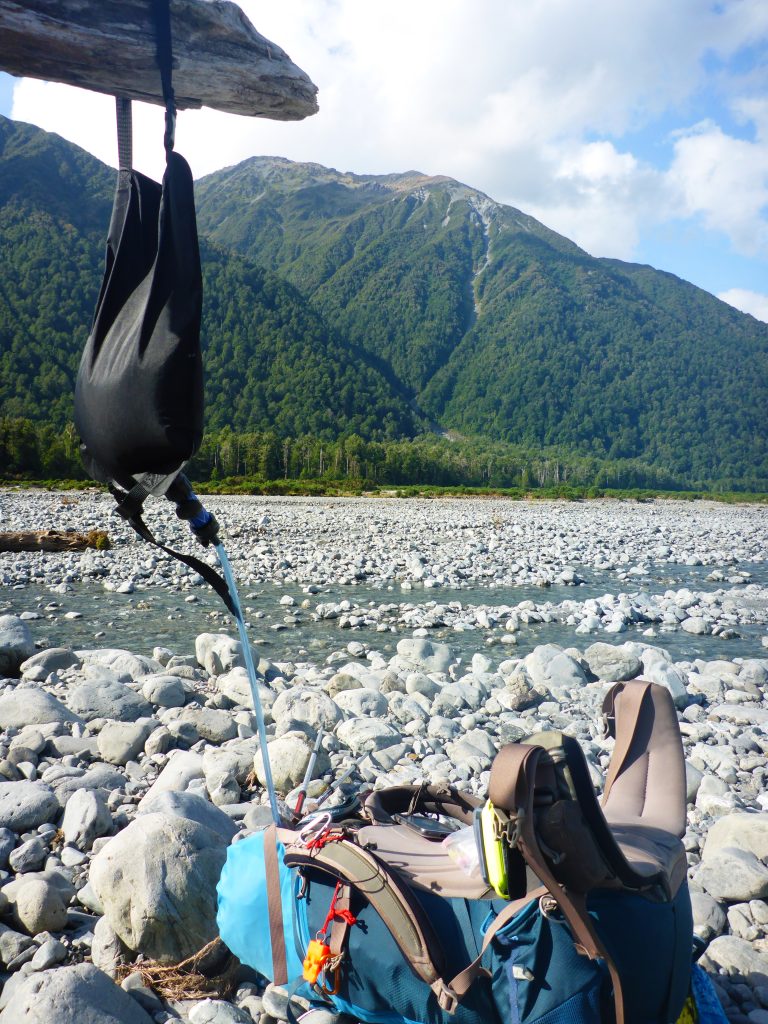
At 5:30pm I stopped for another break as I had run out of water in my bladder. So I set about to filter some more and relaxed sitting down and eating my sour candy. Sour candy is such a great motivator on a long day:)
After this break there came another section where there wasn’t a big riverbed on my side of the river. While there was bush further up the bank, it was the prickly bushes that hurt and can damage tour gear. Looking into the water I saw that it was slow flowing here so I waded through it along the riverside.
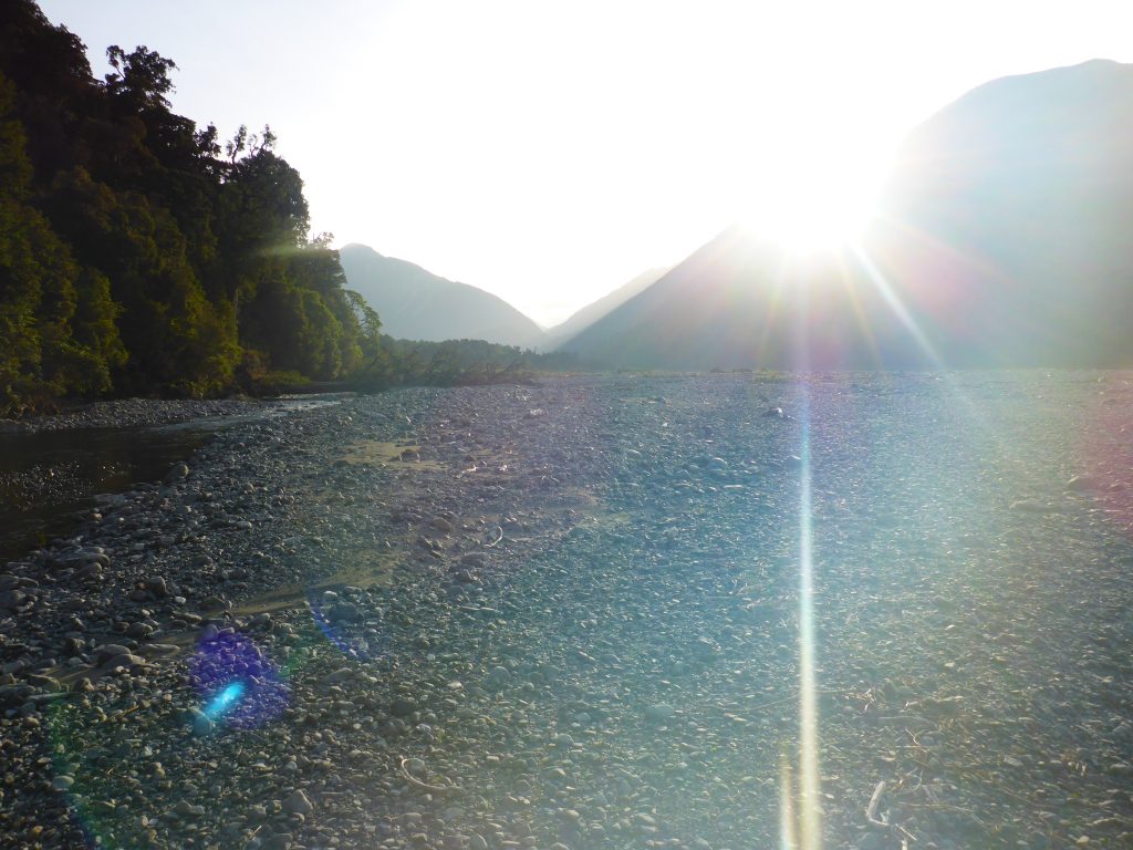
At aaround 6:30pm I reached the place where the Taramakau river and the Otira river flow together and I had to turn to walk up the Otira river. I still hadn’t found trail markers and in some places had to backtrack a bit in the riverbed as I was walking into a dead end of the prickly bush. So I continued walking in the riverbed towards Morrison Footbridge. The Otira river though had many side streams that I had to cross so I got wet feet over and over again. As I got closer towards the bridge the sun was also slowly disappearing behind the mountains. So there will be no time to dry my shoes out for a bit.
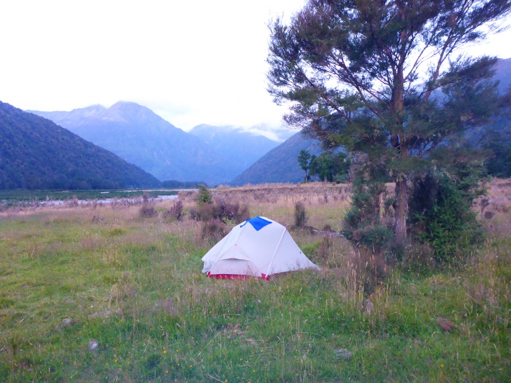
About a km before the bridge I finally found some markers in the forest and went back to the trail. Shortly after it continued onto a cattle paddock with some cows in the far left. After crossing a dent in the field I found some trees with some dented grass showing that someone had camped there the night before. As it had just gone 8pm I decided to call it a day and set up camp here as well. It was about 500m before the Morrison Footbridge. This way I can look at the weather tomorrow and then decide if I need to get out here or can head over the pass.
I first went 100m through more prickly bush towards the river to get water. I set it to filter and then went about setting up my tent. All the while is as still in wet leggings and socks and shoes. I need the shoes to get the pegs into the ground hut also to fend of the many sandflies. Then I stuffed all my things into the tent and cooked dinner outside. I made ramen with mashed potatoes mixed into it. Then I went into the tent while it soaked in my pot cozy. I took of my wet clothes and jumped inside. There I had to quickly cover my bare legs with my inlet as there were so many sandflies inside. So I spent about 30 min while eating a bite every now and then to kill about 50 sandflies. It is important to get them all as they will otherwise eat me up during the night. After finishing my dinner I had to get back outside for my nighttime trip to the dunny and the brushing of my teeth as well as the pot cleaning. Then I was back in my tent killing more sandflies. Although tonight there weren’t as many around anymore after the sun set. This is a contrast to the previous two nights.
I tried to get to sleep at about 9:30pm. At about 10:30pm that were people coming past my tent with torches following the trail. I wondered who that was. From peeking through my tent fly it looked like the couple who were at the same hut as me before. Then I finally went to sleep after setting my alarm for 5:30am to make it over Goat Pass in one day.